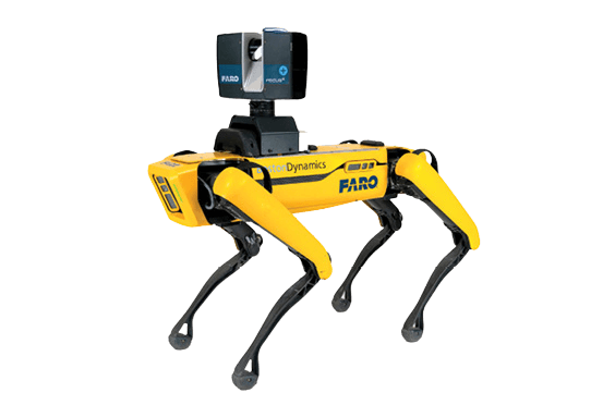
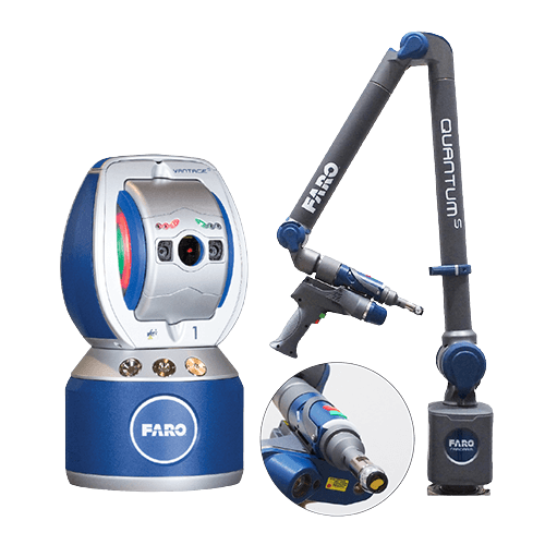
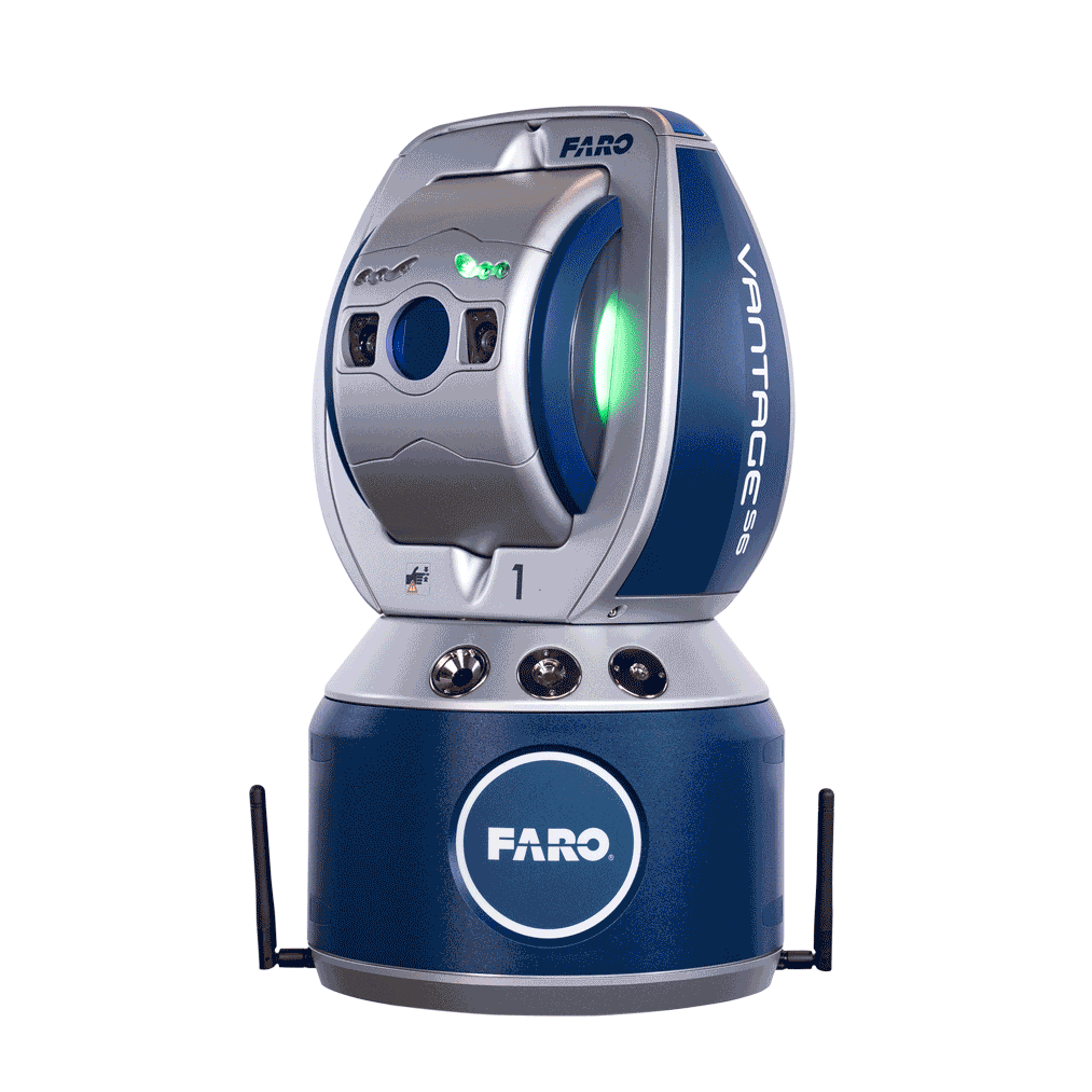
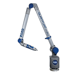
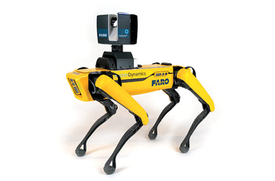
FARO Trek 3D Laser Scanning Integration
At Global CAD Technology, we aim to simplify and drive the process of capturing, managing, and analyzing 3D data for professionals in the construction, engineering, and industrial design sectors. Recognizing the high demand for precision and efficiency in these areas, we are excited to present FARO Trek as the ultimate solution to meet these requirements.
FARO Trek features potent analysis and reporting tools, empowering professionals to delve profoundly into the intricacies of their 3D data. Furthermore, the software seamlessly integrates with commonly used CAD and BIM software, significantly boosting collaboration and compatibility. This integration guarantees that the generated 3D models can be effortlessly incorporated into existing projects, offering a streamlined workflow that is both efficient and effective in managing complex 3D data.
Beyond serving as a tool for creating 3D models, FARO Trek provides a comprehensive solution for professionals requiring accurate measurements and detailed analyses. The unmatched precision and accuracy in data capture make the software perfect for measuring objects, regardless of their size or complexity. This feature is particularly essential for industries that daily require diverse and intricate measurements.
In addition, FARO Trek comes with a range of measurement and analysis tools, including volume calculation, point cloud editing, and advanced viewing and annotation capabilities. These features allow users greater capabilities beyond basic data capture, granting them the ability to perform in-depth analyses and generate detailed reports for their projects. For professionals within the construction, engineering, and industrial design sectors, FARO Trek is much more than a 3D scanning tool. It catalyzes efficiency and accuracy, facilitating the rapid creation of accurate 3D models. These models can then be utilized for virtual simulations, error detection, and the generation of comprehensive reports.
In conclusion, FARO Trek stands as the optimal solution for professionals who need to swiftly and accurately collect, analyze, and manage 3D data. With its dominant features, intuitive interface, and seamless integration capabilities, it acts as an indispensable tool for enhancing workflows in diverse industries. Experience the simplicity of 3D data capture and elevate your projects with FARO Trek. We invite you to explore the possibilities today and revolutionize your approach to 3D scanning and analysis!
Key Features
Prepositioned Scans
HDR Photo Overlay
Accuracy and Range
User-Defined Coordinate System